Welcome to GeospatialLab (by GrKs - Geospatial Research and Knowledge Society). We provide completely free guidance, learning resources, and research support in Remote Sensing (RS) and Geographic Information Systems (GIS) for students, scholars, and faculty worldwide.
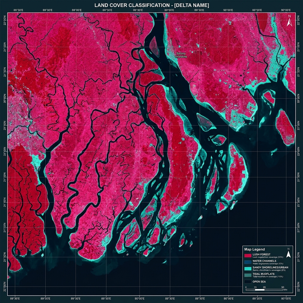
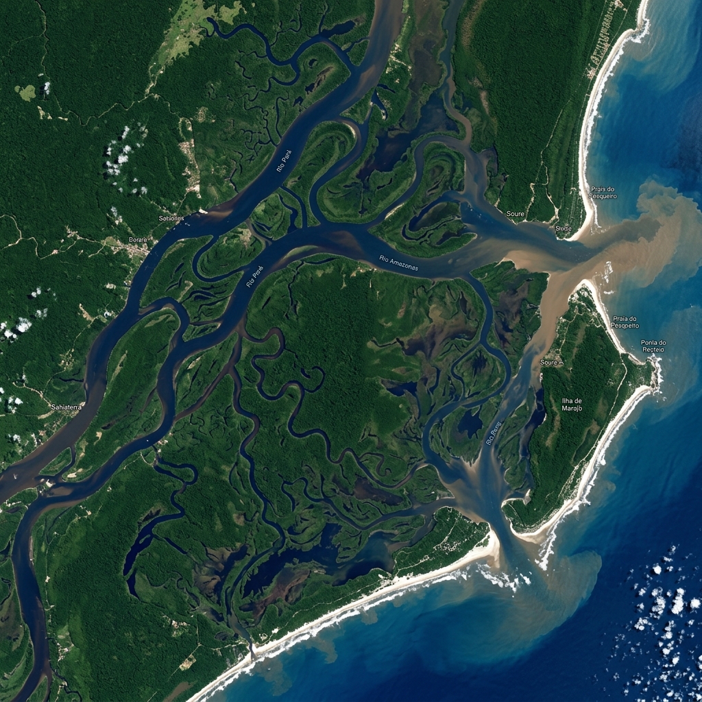
Our tools allow students to observe geospatial datasets, satellite sensors, and theme-based map outputs firsthand. Drag the divider below to test land cover classifications.
"Welcome to the GeospatialLab (GrKs - Geospatial Research and Knowledge Society). Our platform was founded with a simple but meaningful vision: to make geospatial education, research guidance, and practical learning accessible to everyone, regardless of financial background. GrKs is not only a learning platform. It is a community built on ethics, collaboration, integrity, and service. Together, we can use geospatial technologies for education, innovation, sustainability, and the betterment of society."Read Society Ethos
"Education is not the learning of facts, but the training of the mind to think." — Albert Einstein
To provide free geospatial learning resources, guides, and workshops for undergraduate (UG), postgraduate (PG), and doctoral research scholars, removing all financial barriers to scientific entry.
To establish GrKs as a global hub for ethical geospatial research, connecting students and senior academicians across continents to solve global ecological and urban planning challenges.
We emphasize moral integrity, accessibility, inclusivity, excellence in learning, community engagement, and environmental stewardship, encouraging selfless service to society.